4/ 5 reviews
Terminal & facilities
“Check-in is usually fast, and the facilities including cafés, shops, and restrooms are well maintained.”
Mehmet Seyit5★ on Google


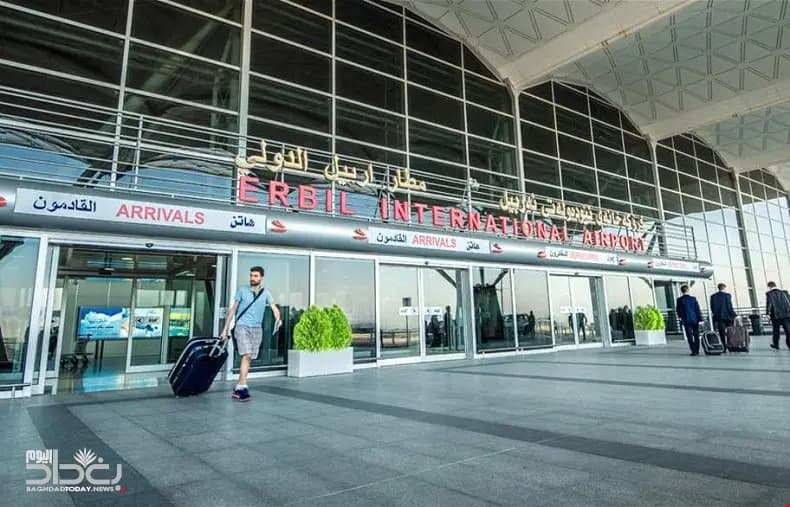
Airports / Iraq / IQ-0045
Dhuluiya, Iraq · 203 ft elevation. A private-aviation gateway on the Bravo register.
3.9/5
Google rating
2,709 ratings
0
Operators based
203
Elevation ft
Google rating
Google reviews
Field elevation
Nearest alternate
Field standing
14 nm
To the nearest alternate
Balad Southeast Airport / Joint Base Balad (ORBD), 4 fields within 50 nm.
Located in Dhuluiya, Iraq, Samarra East Air Base / Dhuluiya Airport (IQ-0045) operates as a mid-sized airport. The field lies at an elevation of 203 feet. The field has no airline schedules, which keeps it focused on private and general aviation flying.
IQ-0045 has no resident charter fleet; trips here are typically flown by operators repositioning from surrounding airports. Useful alternates include Balad Southeast Airport / Joint Base Balad (ORBD, 14 nm), Al Taji Army Air Field (ORTI, 39 nm), and Al Sahra Army Air Field (ORSH, 47 nm).
Quotes for flights out of IQ-0045 vary with aircraft type, repositioning, and schedule flexibility. Use the cost estimator to model a trip from IQ-0045, or browse verified operators serving the area.
Run an FBO at IQ-0045? Become the preferred FBO
From the stored review texts
4/ 5 reviews
“Check-in is usually fast, and the facilities including cafés, shops, and restrooms are well maintained.”
Mehmet Seyit5★ on Google
3/ 5 reviews
“Check-in is usually fast, and the facilities including cafés, shops, and restrooms are well maintained.”
Mehmet Seyit5★ on Google
3/ 5 reviews
“The security and passport control are efficient, and the staff are professional and helpful.”
Mehmet Seyit5★ on Google
Themes counted by keyword across Google review texts for Samarra East Air Base / Dhuluiya Airport, every quote is verbatim from a real review.
ICAO
IQ-0045
IATA
n/a
FAA / Local
—
Elevation
203 ft
Coordinates
34.1655° N · 44.2643° E
Airspace
G · GolfClass G, GolfUncontrolled field, no tower. Pilots self-announce and sequence themselves on the common traffic advisory frequency.Source: FAA NASR class airspace
Size
Medium
Scheduled svc
No
Elevation vs Iraq fields
state range 11–2,494 ft
At 203 ft, IQ-0045 sits lower than 58% of the 19 Iraq fields on the register.
Closest alternate fields by great-circle distance, every listing links to its own field brief.
Location
Open the full mapIQ-0045 · Samarra East Air Base / Dhuluiya Airport · Dhuluiya, Iraq
Approximate nonstop block times from IQ-0045 on a typical midsize charter jet. Faster classes trim these; add positioning and taxi for the real schedule.
| Destination | Distance | Block time |
|---|---|---|
| Boston (BED) | 5,004 nm | 12h 2m |
| Anchorage (ANC) | 5,040 nm | 12h 7m |
| New York (TEB) | 5,161 nm | 12h 24m |
| Washington DC (IAD) | 5,353 nm | 12h 51m |
| Chicago (ORD) | 5,532 nm | 13h 16m |
| Nashville (BNA) | 5,772 nm | 13h 49m |
| Seattle (SEA) | 5,854 nm | 14h 1m |
| Jackson Hole (JAC) | 5,941 nm | 14h 13m |
Search operators, brokers, FBOs, airports, aircraft types, manufacturers, destinations and tail numbers