3/ 5 reviews
Easy in & out
“Easy in, easy out.”
Mike “TahoeMike” Sommer5★ on Google


Airports / Colorado / GJT
Grand Junction, Colorado · 4,858 ft elevation. A private-aviation gateway on the Bravo register.
4.3/5
Google rating
980 ratings
0
Operators based
4,858
Elevation ft
Google rating
Google reviews
FBOs on field
Field elevation
Nearest alternate
Field standing
44 nm
To the nearest alternate
Garfield County Regional Airport (RIL), 2 fields within 50 nm.
Located in Grand Junction, Colorado, Grand Junction Regional Airport (KGJT / GJT) operates as a mid-sized airport. Field elevation is 4,858 feet above sea level. Scheduled carriers operate here, and the field also sees regular private and charter activity.
While no charter operators list GJT as their home base, the field is reachable for repositioned charter aircraft from nearby bases. The closest alternate fields are Garfield County Regional Airport (RIL, 44 nm), Montrose Regional Airport (MTJ, 47 nm), and Canyonlands Regional Airport (CNY, 61 nm). The field has 2 runways, the longest 9,339-foot paved runway, long enough for charter aircraft up to VIP airliners.
Charter travelers heading this way can start with the Aspen, CO destination guide for route and aircraft recommendations. Browse operators flying from the area or estimate a trip cost from GJT to plan your flight.
1 FBO serves KGJT. Run one? Become the preferred FBO
Ramp services
West Star Aviation FBO Grand Junction
Your FBO? Claim it, freeOur Grand Junction, Colorado location occupies over 281,824 sq ft of hangar, shop and office space located on approximately 32 acres. This includes dedicated maintenance hangars, interior, cabinet, and avionics shops, as well as a state-of-the art paint facility. GJT currently employs over 500 full-time individuals.
Directory data, unpaid. FBOs can take the Preferred slot above.
From the stored review texts
3/ 5 reviews
“Easy in, easy out.”
Mike “TahoeMike” Sommer5★ on Google
3/ 5 reviews
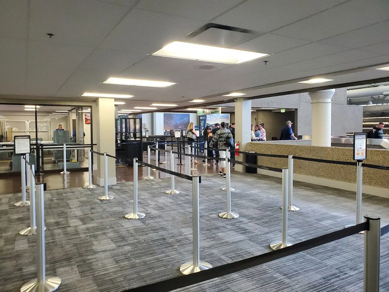
“TSA was speedy and courteous.”
Mike “TahoeMike” Sommer5★ on Google
Themes counted by keyword across Google review texts for Grand Junction Regional Airport, every quote is verbatim from a real review.
ICAO
KGJT
IATA
GJT
FAA / Local
GJT
Elevation
4,858 ft
Coordinates
39.1267° N · 108.5294° W
Airspace
D · DeltaClass D, DeltaA control tower runs the immediate airspace. Pilots establish two-way radio contact before entering, typical for busy business-aviation fields.Source: FAA NASR class airspace
Size
Medium
Scheduled svc
Yes
Elevation vs CO fields
state range 3,706–9,927 ft
At 4,858 ft, GJT sits lower than 83% of the 46 Colorado fields on the register.
2 runways
longest 9,339 ft
Which aircraft can operate here
vs longest paved runway 9,339 ft
GJT's 9,339 ft paved runway typically supports charter aircraft up to VIP airliners.
Class minimums are sea-level planning rules of thumb. A specific aircraft's balanced-field length varies with weight, temperature, and field elevation, and at 4,858 ft this field's density altitude can extend the runway a jet actually needs on warm days. Confirm performance with the operator.
Closest alternate fields by great-circle distance, every listing links to its own field brief.
Destinations served
Location
Open the full mapKGJT · Grand Junction Regional Airport · Grand Junction, CO
Approximate nonstop block times from GJT on a typical midsize charter jet. Faster classes trim these; add positioning and taxi for the real schedule.
| Destination | Distance | Block time |
|---|---|---|
| Denver (DEN) | 184 nm | 50m |
| Salt Lake City (SLC) | 188 nm | 50m |
| Jackson Hole (JAC) | 287 nm | 1h 4m |
| Las Vegas (LAS) | 364 nm | 1h 15m |
| Scottsdale (SCF) | 369 nm | 1h 15m |
| Los Angeles (VNY) | 563 nm | 1h 43m |
| San Francisco (SFO) | 657 nm | 1h 56m |
| Dallas (DAL) | 681 nm | 1h 59m |
Search operators, brokers, FBOs, airports, aircraft types, manufacturers, destinations and tail numbers