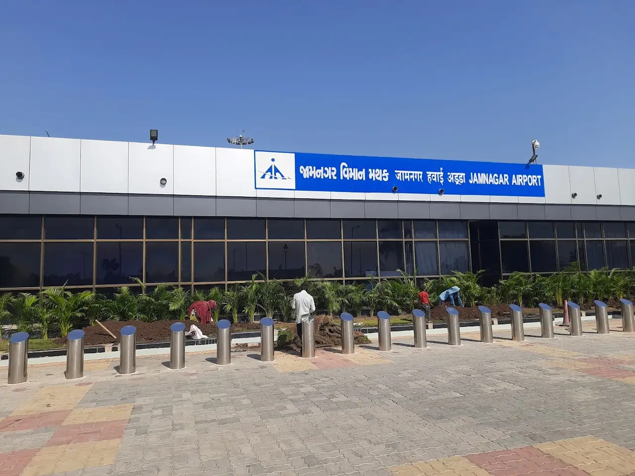
Airports / India / JGA
Jamnagar Airport
VAJM / JGAJamnagar, IndiaELEV 69 FT
Field elevation
Nearest alternate
Field standing
39 nm
To the nearest alternate
Kandla Airport (IXY) — 2 fields within 50 nm.
Overview
Located in Jamnagar, India, Jamnagar Airport (VAJM / JGA) operates as a mid-sized airport. The field lies at an elevation of 69 feet. The airport supports scheduled airline service as well as private jet and charter movements.
JGA has no resident charter fleet; trips here are typically flown by operators repositioning from surrounding airports. Useful alternates include Kandla Airport (IXY, 39 nm), Rajkot Airport (RAJ, 44 nm), and Porbandar Airport (PBD, 53 nm).
Quotes for flights out of JGA vary with aircraft type, repositioning, and schedule flexibility. The airport is also known as Jamnagar Air Force Station. Use the cost estimator to model a trip from JGA, or browse verified operators serving the area.
Field capability
ICAO
VAJM
IATA
JGA
FAA / Local
VAJM
Elevation
69 ft
Coordinates
22.4655° N · 70.0126° E
Airspace
G · GolfClass G — GolfUncontrolled field — no tower. Pilots self-announce and sequence themselves on the common traffic advisory frequency.Source: FAA NASR class airspace
Size
Medium
Scheduled svc
Yes
Elevation vs India fields
state range 5–10,682 ft
At 69 ft, JGA sits lower than 88% of the 139 India fields on the register.
Access & alternates
Closest alternate fields by great-circle distance — every listing links to its own field brief.
- 39nmIXYKandla AirportKandla
- 44nmRAJRajkot AirportRajkot
- 53nmPBDPorbandar AirportPorbandar
- 53nmBHJBhuj AirportBhuj
- 57nmHSRRajkot International AirportRajkot
- 70nmIXKKeshod AirportKeshod
Location
Open the full mapVAJM · Jamnagar Airport · Jamnagar, India