Airports / Texas / JKV
Cherokee County Airport
KJSO / JKVJacksonville, TexasELEV 677 FT
Google rating
Google reviews
Field elevation
Nearest alternate
Field standing
#13 / 115
Texas airports by Google rating
4.9★ across 20 Google ratings — ranked against 115 rated TX fields.
31 nm
To the nearest alternate
Tyler Pounds Regional Airport (TYR) — 3 fields within 50 nm.
Overview
Cherokee County Airport (KJSO / JKV) sits in Jacksonville, Texas, where it functions as a general aviation field. The field lies at an elevation of 677 feet. The field has no airline schedules, which keeps it focused on private and general aviation flying.
JKV has no resident charter fleet; trips here are typically flown by operators repositioning from surrounding airports. Useful alternates include Tyler Pounds Regional Airport (TYR, 31 nm), East Texas Regional Airport (GGG, 40 nm), and Angelina County Airport (LFK, 45 nm).
Quotes for flights out of JKV vary with aircraft type, repositioning, and schedule flexibility. Use the cost estimator to model a trip from JKV, or browse verified operators serving the area.
What fliers highlight
Terminal & facilities
3/5 reviews“Crew room has four loungers, a PC for flight planning, coffee, vending machine, and they loan the crew vehicles (one of which is an Excursion-that I topped off at the fuel pump for at $2.95/gal).”
BJ Kirby5★ on Google
Staff & service
3/5 reviews“Great airport and friendly staff.”
Brian Fink4★ on Google
FBO & ground handling
2/5 reviews“The fuel prices were 4.93/gal (April 2024) for 100LL.”
BJ Kirby5★ on Google
Themes counted by keyword across Google review texts for Cherokee County Airport — every quote is verbatim from a real review.
Field capability
ICAO
KJSO
IATA
JKV
FAA / Local
JSO
Elevation
677 ft
Coordinates
31.8693° N · 95.2174° W
Airspace
G · GolfClass G — GolfUncontrolled field — no tower. Pilots self-announce and sequence themselves on the common traffic advisory frequency.Source: FAA NASR class airspace
Size
Small
Scheduled svc
No
Elevation vs TX fields
state range 6–4,849 ft
At 677 ft, JKV sits higher than 50% of the 127 Texas fields on the register.
Access & alternates
Closest alternate fields by great-circle distance — every listing links to its own field brief.
- 31nmTYRTyler Pounds Regional AirportTyler
- 40nmGGGEast Texas Regional AirportLongview
- 45nmLFKAngelina County AirportLufkin
- 62nmK76FVan Zandt County Regional AirportWills Point
- 70nmHTVHuntsville Regional AirportHuntsville
- 79nmSHVShreveport Regional AirportShreveport
Location
Open the full mapKJSO · Cherokee County Airport · Jacksonville, TX
From the ramp
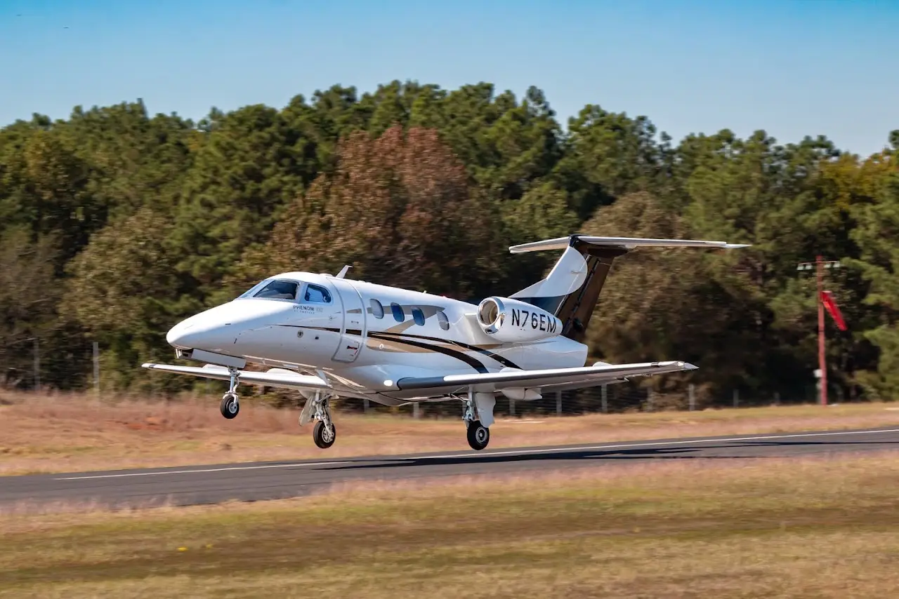
Google Places photography of Cherokee County Airport — tap any frame to view full-screen, then cycle with the arrows or your keyboard.