

Airports / Indonesia / ID-0339
Old Nabire Airport.
Nabire, Indonesia · 20 ft elevation. A private-aviation gateway on the Bravo register.
4.1/5
Google rating
447 ratings
0
Operators based
20
Elevation ft
Google rating
Google reviews
Field elevation
Nearest alternate
Field standing
6 nm
To the nearest alternate
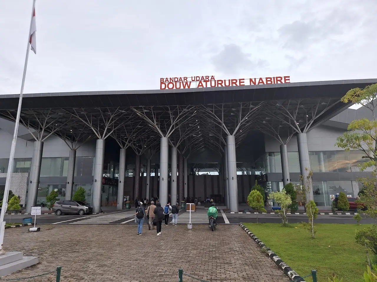
Douw Aturure Airport (NBX).
Overview
Old Nabire Airport (ID-0339) sits in Nabire, Indonesia, where it functions as a mid-sized airport. The field lies at an elevation of 20 feet. The airport supports scheduled airline service as well as private jet and charter movements.
ID-0339 has no resident charter fleet; trips here are typically flown by operators repositioning from surrounding airports. Useful alternates include Douw Aturure Airport (NBX, 6 nm), Bilorai Airport (UGU, 95 nm), and Stevanus Rumbewas Airport (ZRI, 99 nm). ID-0339 offers a single 4,593-foot paved runway, which supports charter types through the midsize jet class.
Quotes for flights out of ID-0339 vary with aircraft type, repositioning, and schedule flexibility. The airport is also known as NBX and WABI. Use the cost estimator to model a trip from ID-0339, or browse verified operators serving the area.
Run an FBO at ID-0339? Become the preferred FBO
Field capability
ICAO
ID-0339
IATA
n/a
FAA / Local
—
Elevation
20 ft
Coordinates
3.3686° S · 135.4967° E
Airspace
G · GolfClass G, GolfUncontrolled field, no tower. Pilots self-announce and sequence themselves on the common traffic advisory frequency.Source: FAA NASR class airspace
Size
Medium
Scheduled svc
Yes
Elevation vs Indonesia fields
state range 3–7,348 ft
At 20 ft, ID-0339 sits lower than 77% of the 83 Indonesia fields on the register.
Runways & aircraft access
1 runway
longest 4,593 ft
- 16/344,593 ft × 98 ftAsphaltUnlit
Which aircraft can operate here
vs longest paved runway 4,593 ft
ID-0339's 4,593 ft paved runway typically supports charter aircraft up to midsize jets.
- Turboprop3,000 ft
- Light Jet3,500 ft
- Midsize Jet4,500 ft
- Super-Midsize Jet5,000 ft
- Heavy Jet5,500 ft
- VIP Airliner6,000 ft
Class minimums are sea-level planning rules of thumb. A specific aircraft's balanced-field length varies with weight, temperature, and field elevation. Confirm performance with the operator.
Access & alternates
Closest alternate fields by great-circle distance, every listing links to its own field brief.
- 6nmNBXDouw Aturure AirportNabire
- 95nmUGUBilorai AirportBilogai
- 99nmZRIStevanus Rumbewas AirportSerui
- 109nmTIMMozes Kilangin AirportTimika
- 109nmKNGUtarom AirportKaimana
- 133nmBXBBabo AirportBabo
Location
Open the full mapID-0339 · Old Nabire Airport · Nabire, Indonesia
Flight times from here
Approximate nonstop block times from ID-0339 on a typical midsize charter jet. Faster classes trim these; add positioning and taxi for the real schedule.
| Destination | Distance | Block time |
|---|---|---|
| Honolulu (HNL) | 4,180 nm | 10h 7m |
| Anchorage (ANC) | 5,138 nm | 12h 21m |
| Seattle (SEA) | 6,047 nm | 14h 28m |
| San Francisco (SFO) | 6,103 nm | 14h 36m |
| Los Angeles (VNY) | 6,311 nm | 15h 5m |
| Las Vegas (LAS) | 6,459 nm | 15h 25m |
| Salt Lake City (SLC) | 6,553 nm | 15h 38m |
| Jackson Hole (JAC) | 6,567 nm | 15h 40m |
Common questions
- What size private jets can use ID-0339?
- Old Nabire Airport's longest paved runway is 4,593 ft, which typically supports charter aircraft up to midsize jets. Lighter classes (turboprops, light and midsize jets) operate comfortably; confirm exact performance for a specific tail with the operator, since balanced-field length shifts with weight, temperature, and elevation.
- What is the longest runway at ID-0339?
- Old Nabire Airport has one runway; the longest measures 4,593 ft on a paved surface.
- What is the nearest major airport to ID-0339?
- The closest alternate is Douw Aturure Airport (NBX), about 6 nm away, followed by Bilorai Airport (UGU) at 95 nm. Operators often position aircraft between these fields depending on ramp space and availability.
- How long is a flight from ID-0339 to major cities?
- Typical block times on a midsize jet: Honolulu about 10h 7m (4,180 nm), Anchorage about 12h 21m (5,138 nm), Seattle about 14h 28m (6,047 nm). Faster classes trim these times; add positioning and taxi for the real schedule.