

Airports / Kansas / LBL
Liberal Mid-America Regional Airport.
Liberal, Kansas · 2,885 ft elevation. 1 charter operator based here.
4.4/5
Google rating
86 ratings
1
Operators based
2,885
Elevation ft
Google rating
Google reviews
Based operators
FBOs on field
Field elevation
Field standing
34 nm
To the nearest alternate
Guymon Municipal Airport (GUY).
Overview
Liberal Mid-America Regional Airport, listed as KLBL / LBL, is a mid-sized airport in Liberal, Kansas. Field elevation is 2,885 feet above sea level. Scheduled carriers operate here, and the field also sees regular private and charter activity.
For charter flyers, LBL is a home base: Lyddon Aero Center operates from the field. The closest alternate fields are Guymon Municipal Airport (GUY, 34 nm), Garden City Regional Airport (GCK, 54 nm), and Dodge City Regional Airport (DDC, 64 nm). The field has 2 runways, the longest 7,105-foot paved runway, long enough for charter aircraft up to VIP airliners.
Trip costs from LBL are driven by the aircraft category flown and how far it must reposition. Browse operators flying from the area or estimate a trip cost from LBL to plan your flight.
1 FBO serves KLBL. Run one? Become the preferred FBO
Ramp services
FBOs on the field
Lydden Aero Center FBO
Your FBO? Claim it, freeWe take pride in bringing back customers time and again, not only with our quick service, but also with our competitive fuel prices on Jet-A and 100LL. Customer service is our #1 priority. We strive to give every customer the same quality service, whether you are in a Cessna 150 or a Beechjet. Our customer service personnel can help make your trip to Liberal a pleasurable one.
- Fuel
- Hangar
- Mon-Sat 06:00-22:00, Sun 07:00-22:00 (24 hrs PPR)
- Unicom 122.8
- Executive lounge
- Conference room
- Cafe
- Courtesy car
- Car rental
- Restrooms
- Hotel help
- Hangar
- +13 more
- Phone
- Website
- Address
Directory data, unpaid. FBOs can take the Preferred slot above.
Field capability
ICAO
KLBL
IATA
LBL
FAA / Local
LBL
Elevation
2,885 ft
Coordinates
37.0442° N · 100.9600° W
Airspace
E · EchoClass E, EchoControlled airspace reaches the surface for instrument approaches, but there is no control tower on the field.Source: FAA NASR class airspace
Size
Medium
Scheduled svc
Yes
Elevation vs KS fields
state range 754–4,219 ft
At 2,885 ft, LBL sits higher than 82% of the 49 Kansas fields on the register.
Runways & aircraft access
2 runways
longest 7,105 ft
- 17/357,105 ft × 100 ftAsphaltLighted
- 04/225,000 ft × 75 ftConcreteUnlit
Which aircraft can operate here
vs longest paved runway 7,105 ft
LBL's 7,105 ft paved runway typically supports charter aircraft up to VIP airliners.
- Turboprop3,000 ft
- Light Jet3,500 ft
- Midsize Jet4,500 ft
- Super-Midsize Jet5,000 ft
- Heavy Jet5,500 ft
- VIP Airliner6,000 ft
Class minimums are sea-level planning rules of thumb. A specific aircraft's balanced-field length varies with weight, temperature, and field elevation. Confirm performance with the operator.
Based charter operators1


Access & alternates
Closest alternate fields by great-circle distance, every listing links to its own field brief.
- 34nmGUYGuymon Municipal AirportGuymon
- 54nmGCKGarden City Regional AirportGarden City
- 64nmDDCDodge City Regional AirportDodge City
- 78nmWWRWest Woodward AirportWoodward
- 98nmDHTDalhart Municipal AirportDalhart
- 103nmLAASoutheast Colorado Regional AirportLamar
Location
Open the full mapKLBL · Liberal Mid-America Regional Airport · Liberal, KS
From the ramp
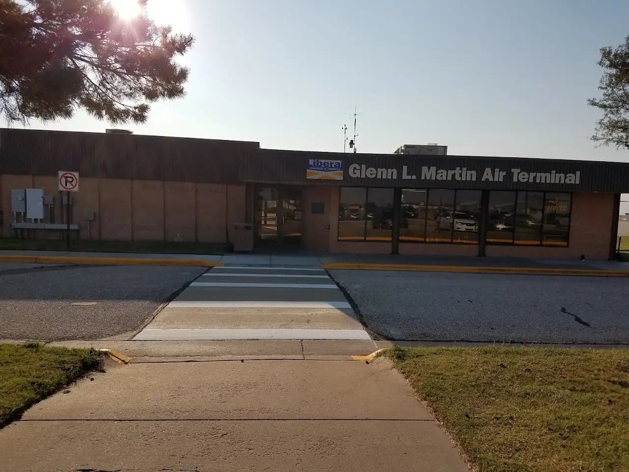
Google Places photography of Liberal Mid-America Regional Airport, tap any frame to view full-screen, then cycle with the arrows or your keyboard.
Flight times from here
Approximate nonstop block times from LBL on a typical midsize charter jet. Faster classes trim these; add positioning and taxi for the real schedule.
| Destination | Distance | Block time |
|---|---|---|
| Denver (DEN) | 243 nm | 58m |
| Aspen (ASE) | 308 nm | 1h 7m |
| Vail / Eagle (EGE) | 321 nm | 1h 9m |
| Dallas (DAL) | 323 nm | 1h 9m |
| Austin (AUS) | 443 nm | 1h 26m |
| Houston (HOU) | 528 nm | 1h 38m |
| Salt Lake City (SLC) | 561 nm | 1h 42m |
| Scottsdale (SCF) | 574 nm | 1h 44m |
Common questions
- What size private jets can use LBL?
- Liberal Mid-America Regional Airport's longest paved runway is 7,105 ft, which typically supports charter aircraft up to VIP airliners. Lighter classes (turboprops, light and midsize jets) operate comfortably; confirm exact performance for a specific tail with the operator, since balanced-field length shifts with weight, temperature, and elevation.
- What is the longest runway at LBL?
- Liberal Mid-America Regional Airport has 2 runways; the longest measures 7,105 ft on a paved surface and is lit for night operations.
- Are there charter operators based at LBL?
- Yes. 1 charter operator list Liberal Mid-America Regional Airport as a home base, including Lyddon Aero Center. You can also request quotes from operators that reposition aircraft into the field.
- Which FBOs are at Liberal Mid-America Regional Airport?
- One FBO serves LBL: Lydden Aero Center FBO. Phone, website, hours, unicom and services for each are listed on this page. Call ahead for fuel, ramp space, and ground handling.
- What is the nearest major airport to LBL?
- The closest alternate is Guymon Municipal Airport (GUY), about 34 nm away, followed by Garden City Regional Airport (GCK) at 54 nm. Operators often position aircraft between these fields depending on ramp space and availability.
- How long is a flight from LBL to major cities?
- Typical block times on a midsize jet: Denver about 58m (243 nm), Aspen about 1h 7m (308 nm), Vail / Eagle about 1h 9m (321 nm). Faster classes trim these times; add positioning and taxi for the real schedule.